| Last Modified 2020-03-01 |
|
Arizona Hiking 5
|
| |
|
| |
|
| |
|
| |
|
| |
|
| |
|
| |
|
| |
|
| |
|
| |
|
| |
Mesquite Flat |
| |
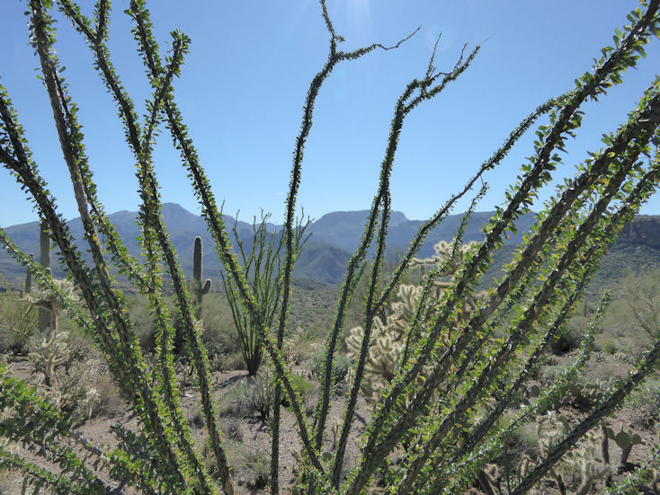
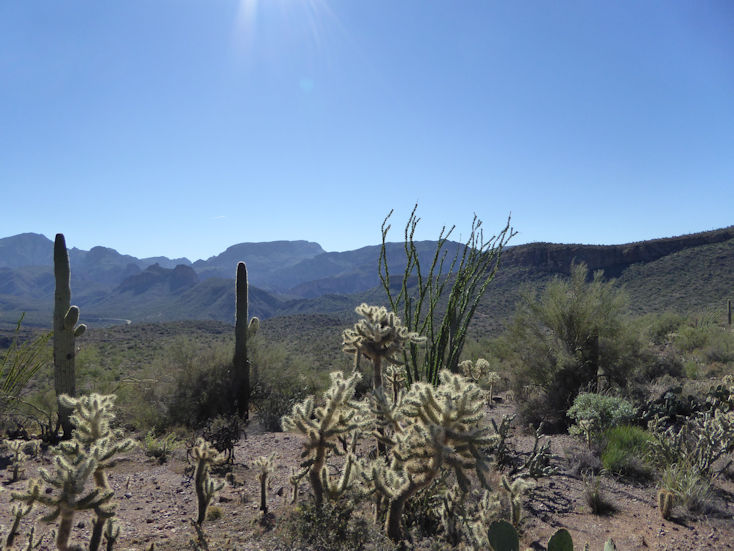
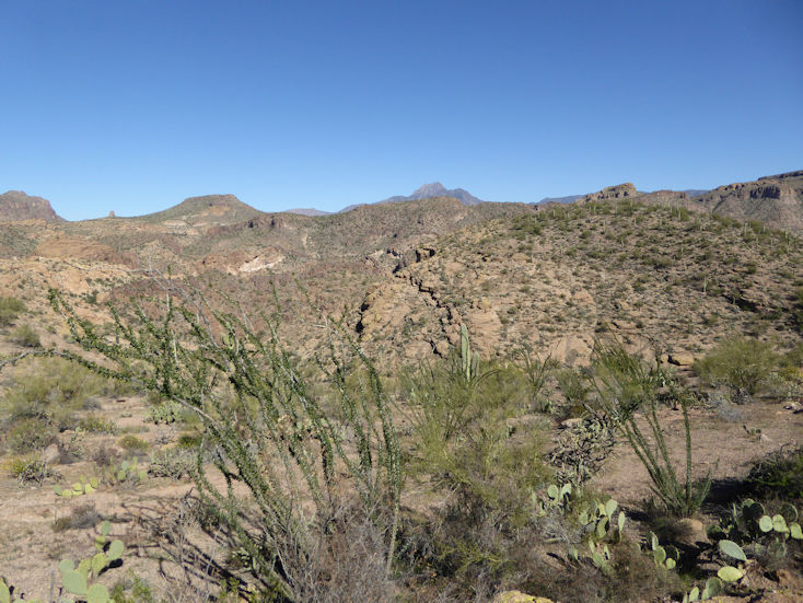
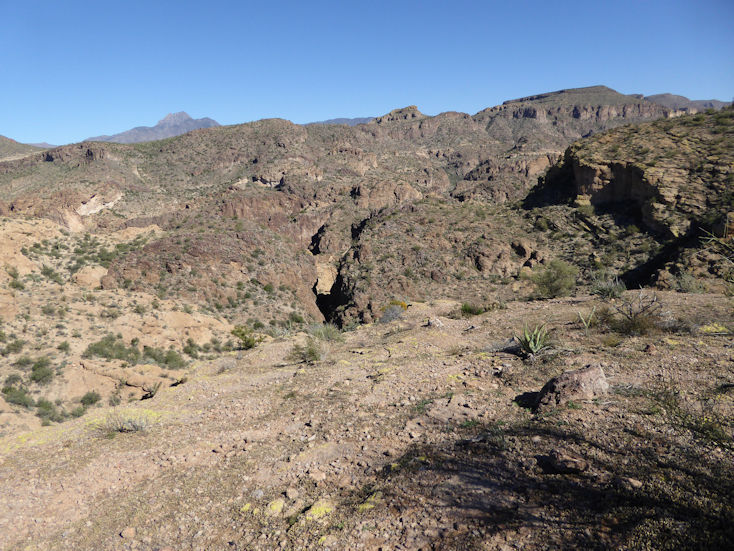
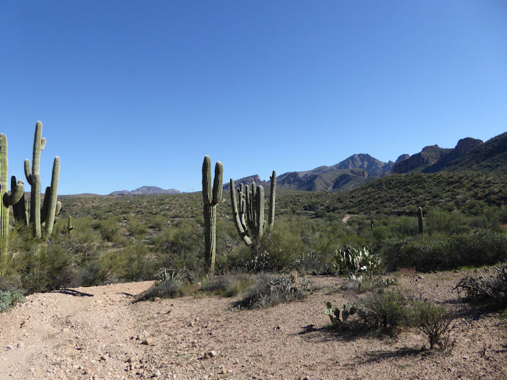
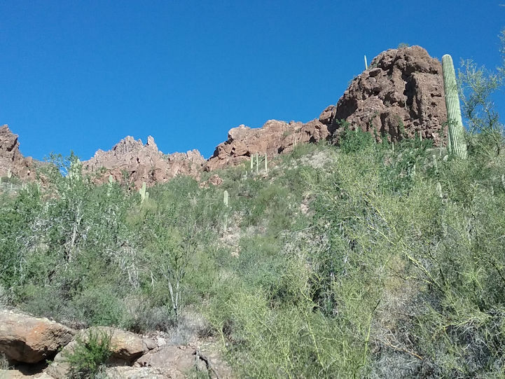
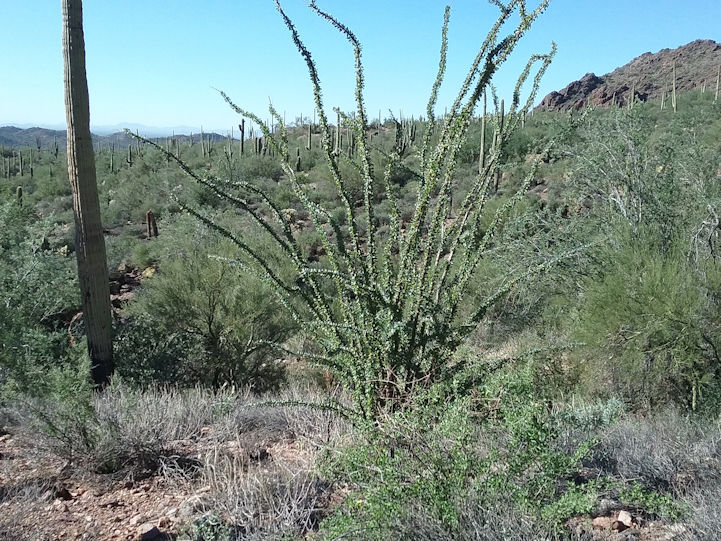
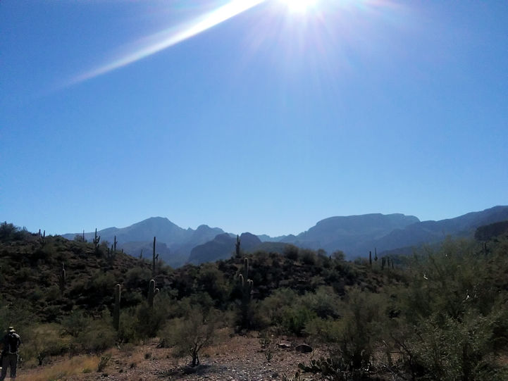
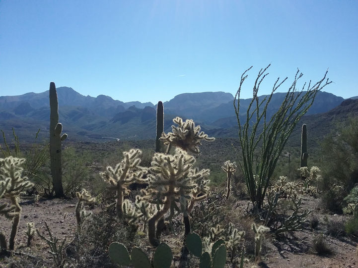
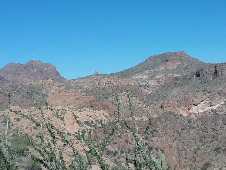
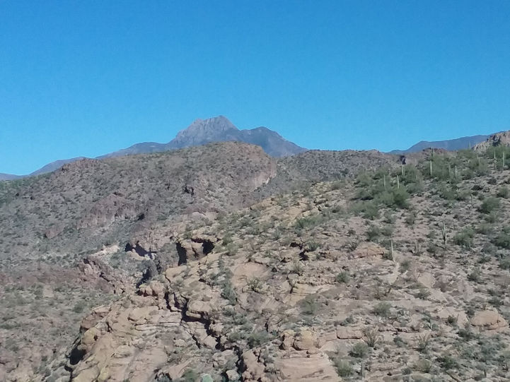
This trail starts two miles east of Tortilla Flat on Highway 88. It's just under 5 miles out and back. |
| |
|
| |
 |
| |
|
| |
 |
| |
|
| |
 |
| |
|
| |
 |
| |
|
| |
 |
| |
|
| |
  |
| |
|
| |
  |
| |
|
| |
  |
| |
|
| |
  |
| |
|
| |
  |
| |
|
| |
  |
| |
|
| |
Arizona Trail - Highline |
| |
|
| |
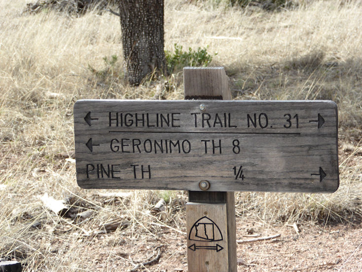
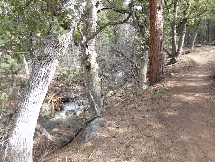
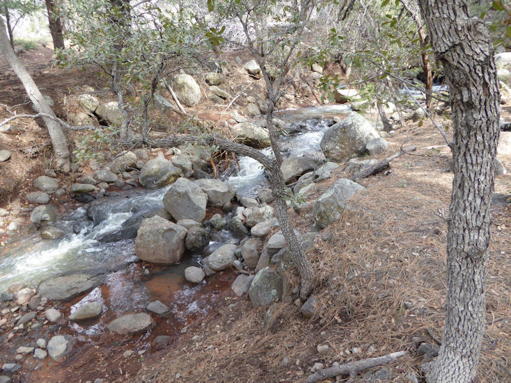
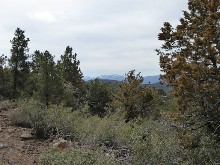
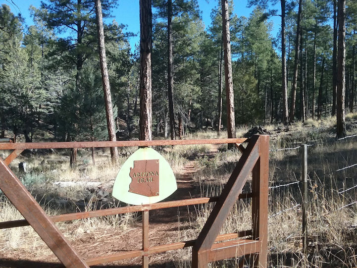
This part of the Arizona Trail (AZT) is accessed from the Pine Trail Head just south of the town of Pine on Highway 87. The AZT shares the Highline trail going west from the Pine Trail Head. |
|
| |
|
| |
 |
| |
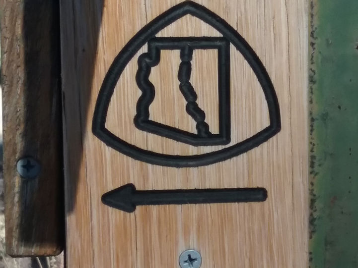
The AZT logo is shown on the sign post below the sign. . . |
| |
|
| |
 |
| |
|
| |
 |
| |
|
| |
 |
| |
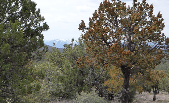
Notice the heavy pollen on the tree on the right. When a breeze would come up, it would create clouds of pollen blowing away
from these trees. |
|
| |
|
| |
 |
| |
|
| |
 |
| |
A Western Scrub-Jay |
| |
|
| |
  |
| |
|
| |
  |
| |
|
| |
  |
| |
|
| |
  |
| |
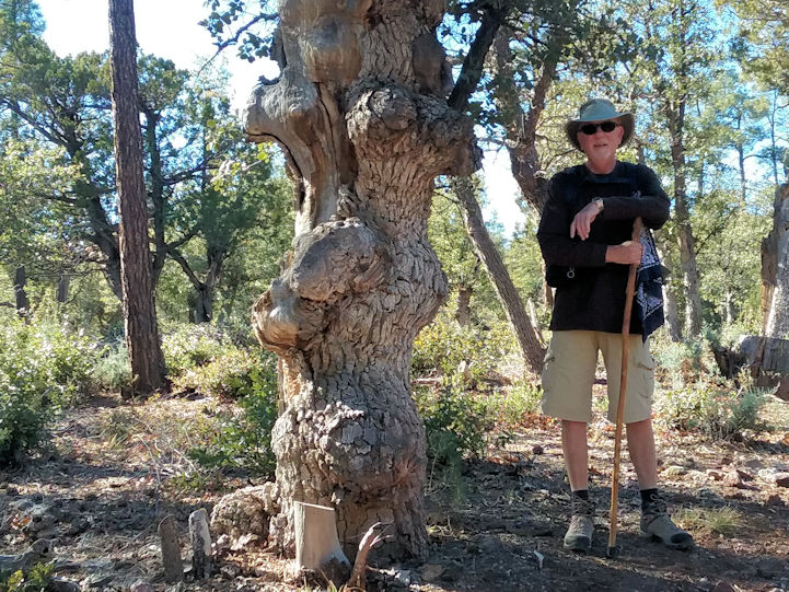
Pete next to a tree with lots of burls. . . |
| |
|
| |
  |
| |
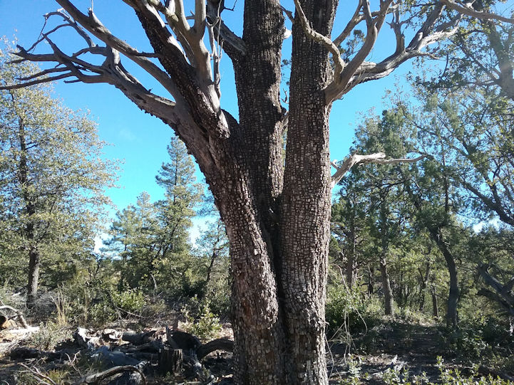
Aligator Juniper |
| |
|
| |
  |
| |
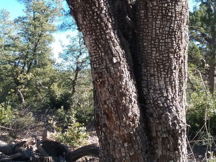
Close-up |
| |
|
| |
  |
| |
|
| |
  |
| |
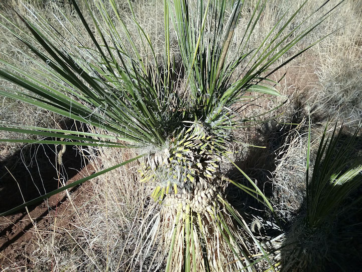
Arizona Trail (AZT) logo. . . |
| |
|
| |
Horton Creek |
| |
|
| |
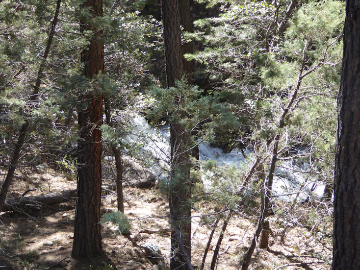
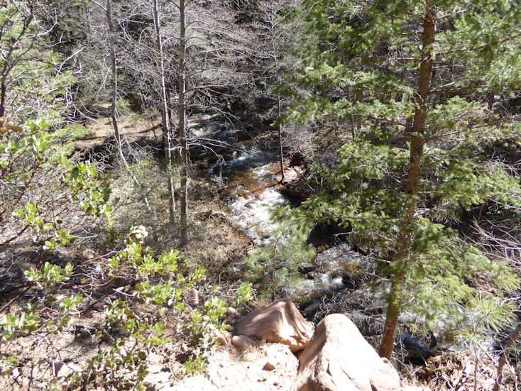
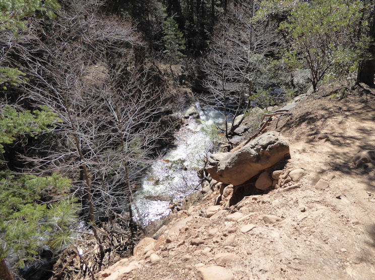
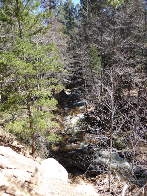
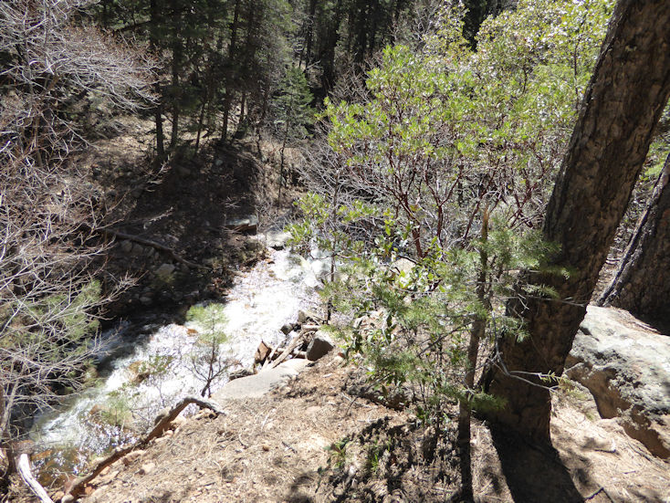
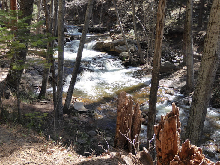
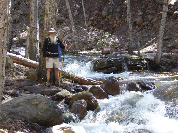
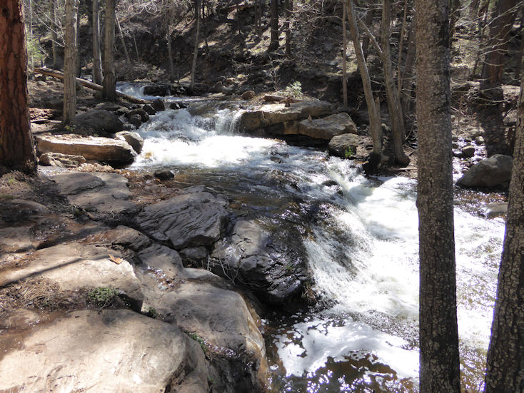
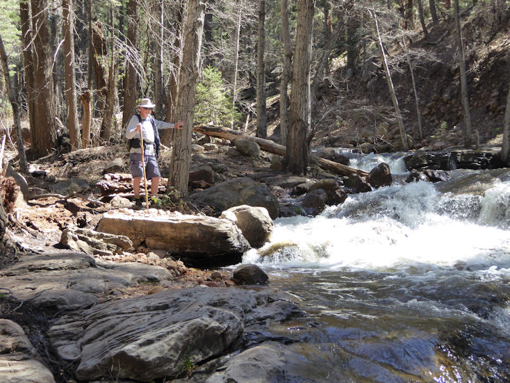
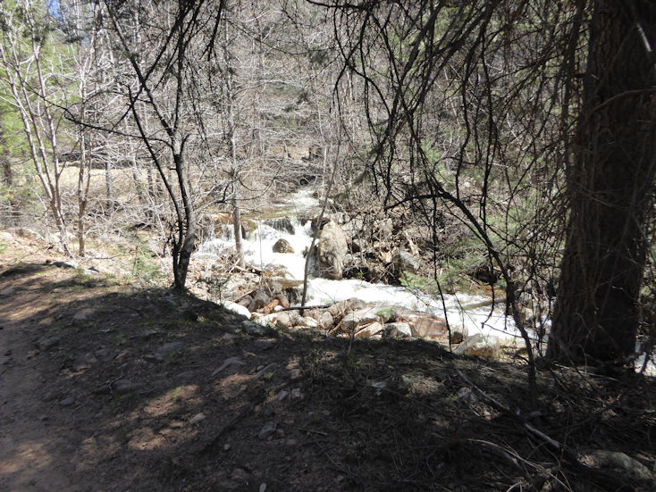
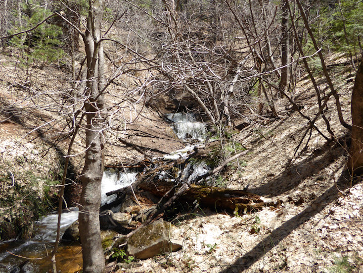
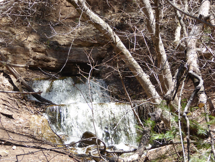
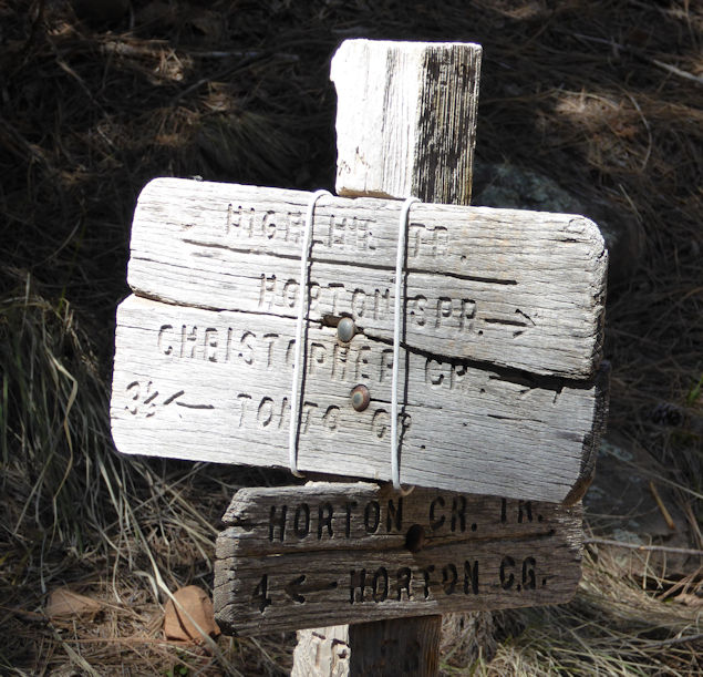
The trail head for this hike is about 15 miles northeast of Payson off of Highway 260 and Tonto Creek Road (Forest Road 289). The trail follows Horton Creek closely most of the 8+ miles out and back. The turn-around point is when the trail ends at Horton Spring where all the water you will see in the following photos flows right out of the rock (below the Mogollon Rim) and flows year around, but I suspect the high volumn we witnessed was due to snow melt and I assume the flow is reduced in the summer. |
|
| |
|
| |
 |
| |
|
| |
 |
| |
|
| |
 |
| |
|
| |
 |
| |
|
| |
 |
| |
|
| |
 |
| |
|
| |
 |
| |
Greg |
| |
|
| |
 |
| |
|
| |
 |
| |
Pete |
| |
|
| |
 |
| |
|
| |
 |
| |
Horton Spring |
| |
|
| |
 |
| |
Close-up where it comes out of the rock. |
| |
|
| |
 |
| |
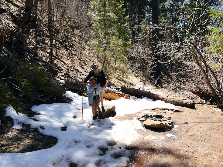
Greg and Rita in the snow. . . |
| |
|
| |
 |
| |
|
| |
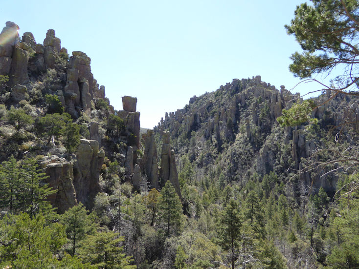
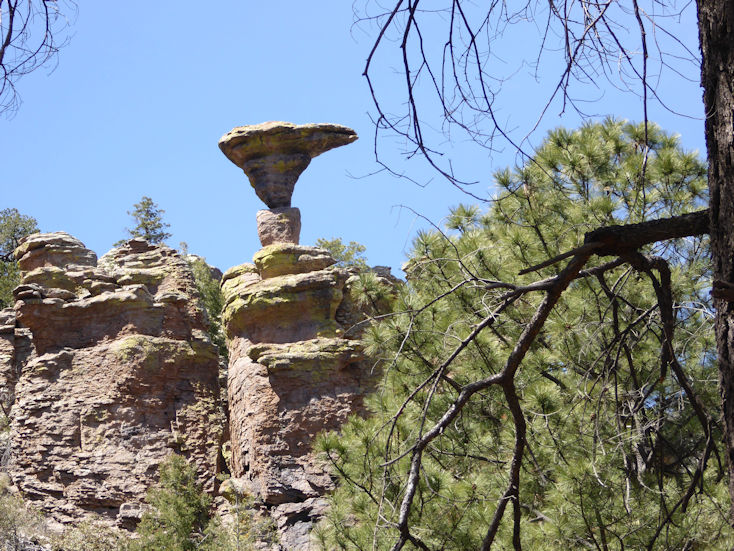
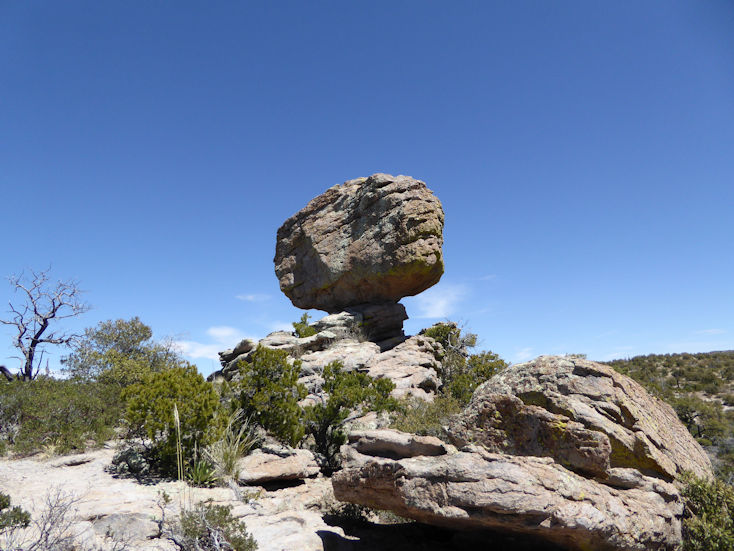
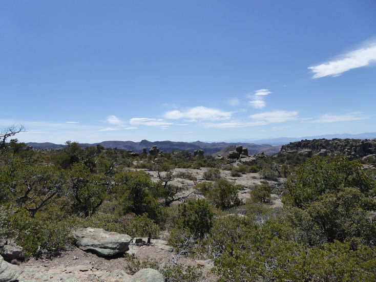
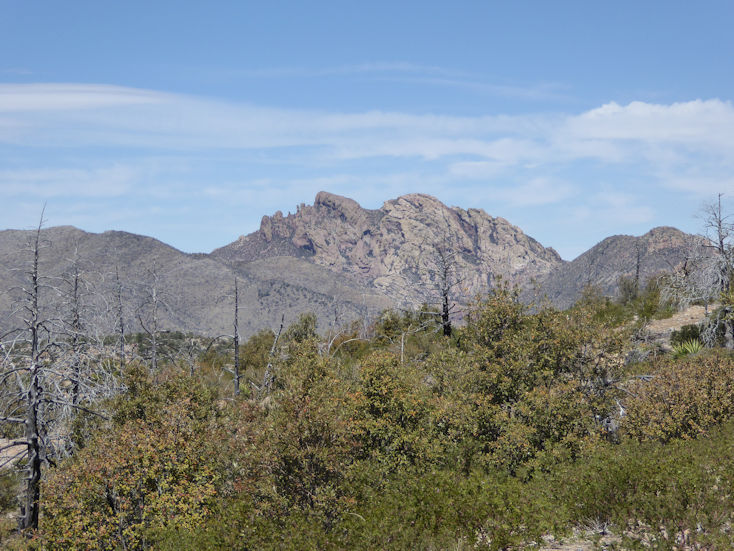
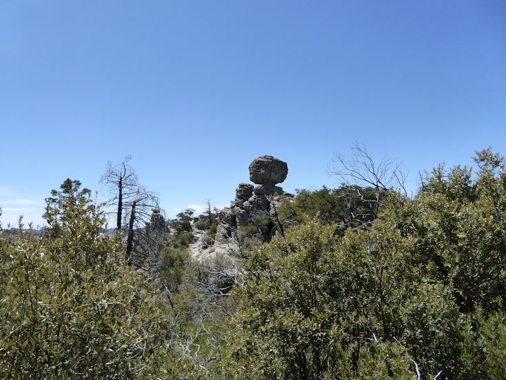
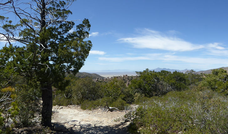
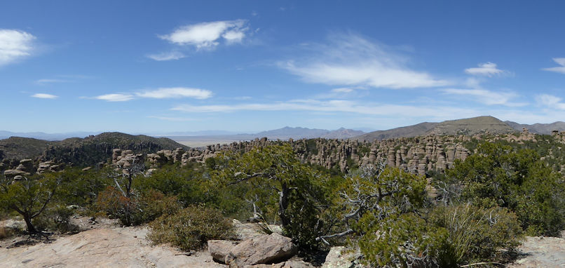
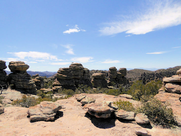
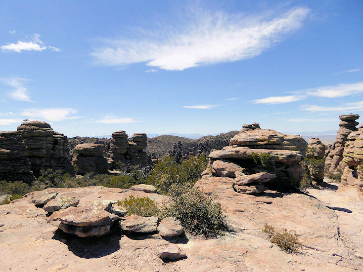
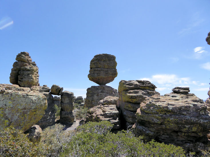
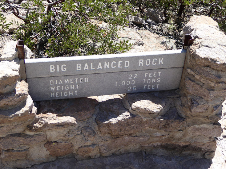
Chiricahua National Monument |
| |
|
| |
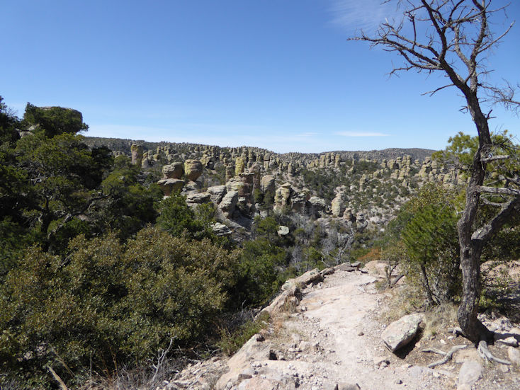
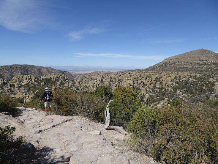
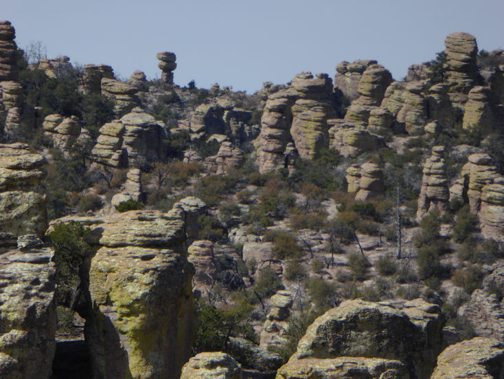
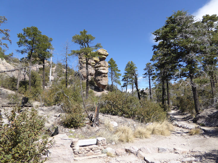
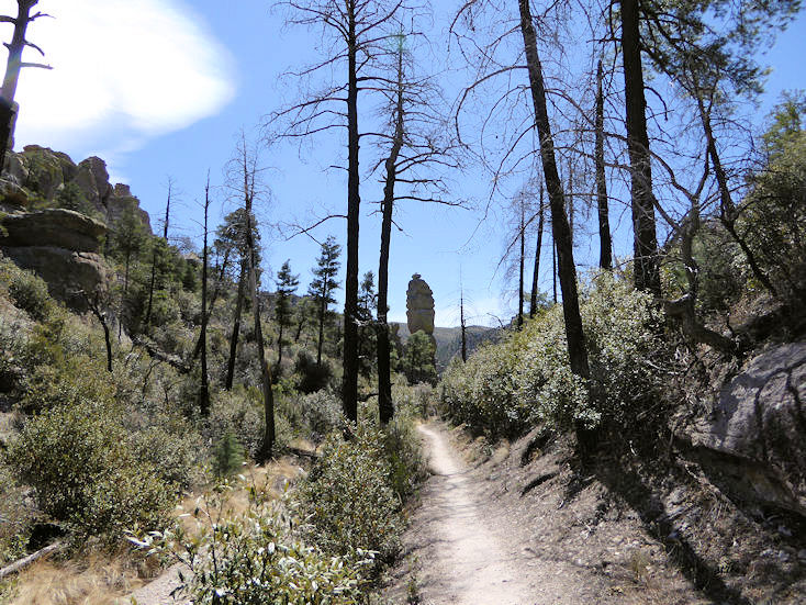
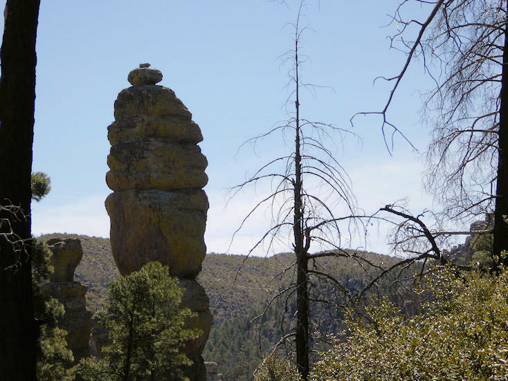
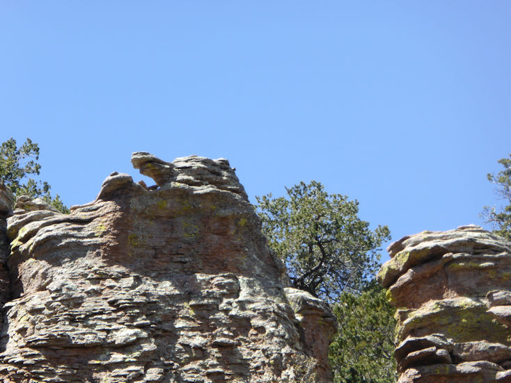
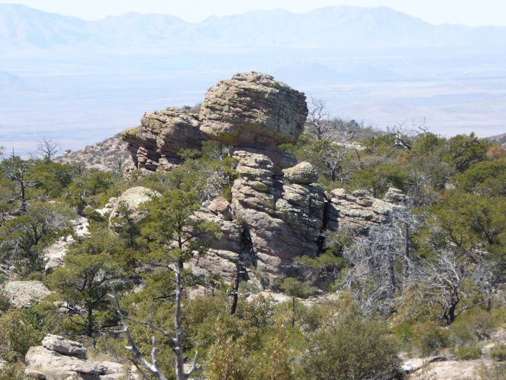
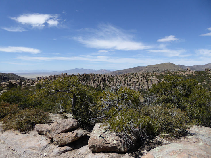
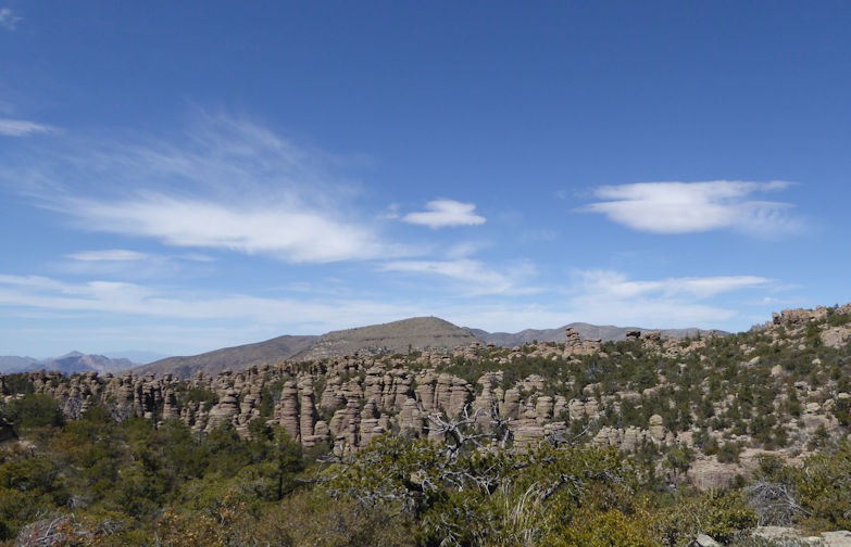
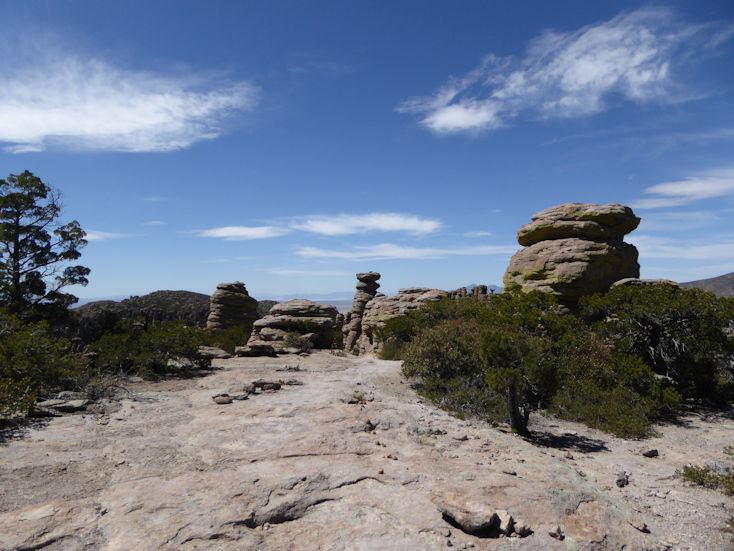
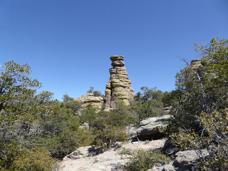
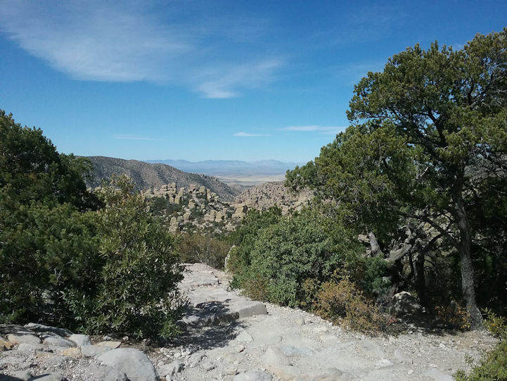
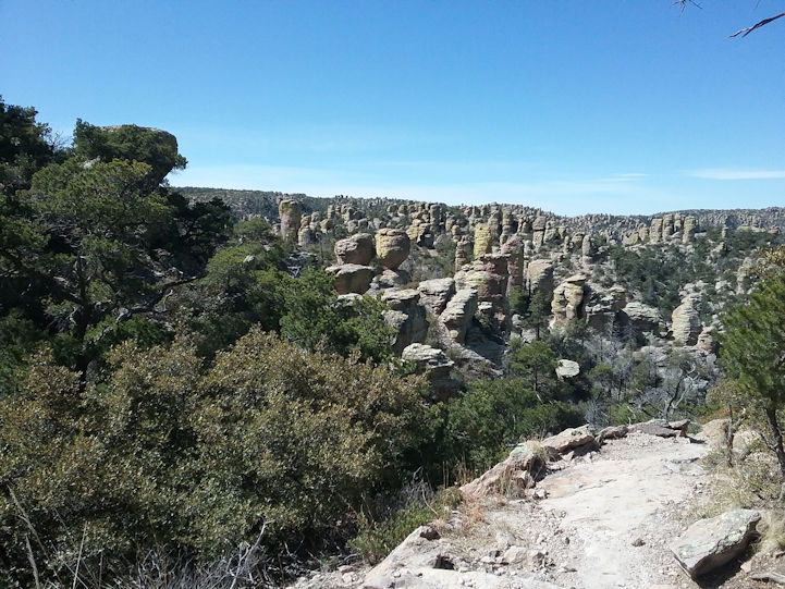
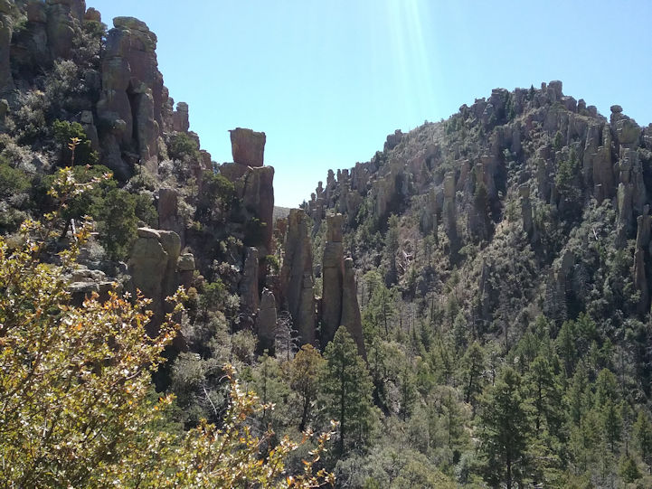
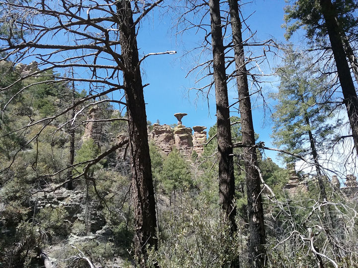
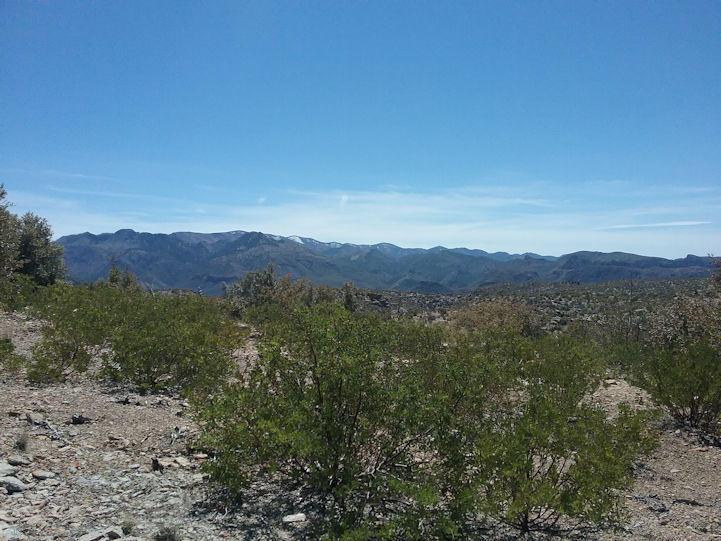
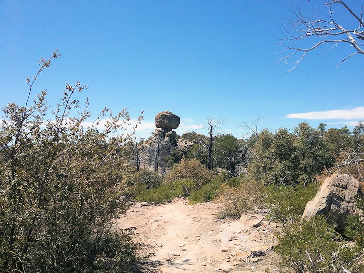
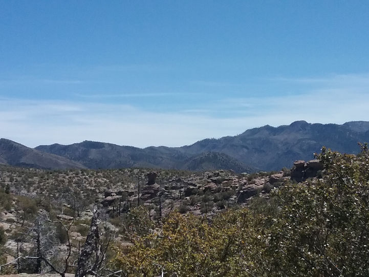
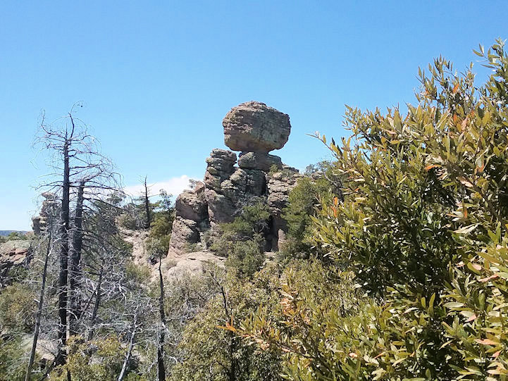
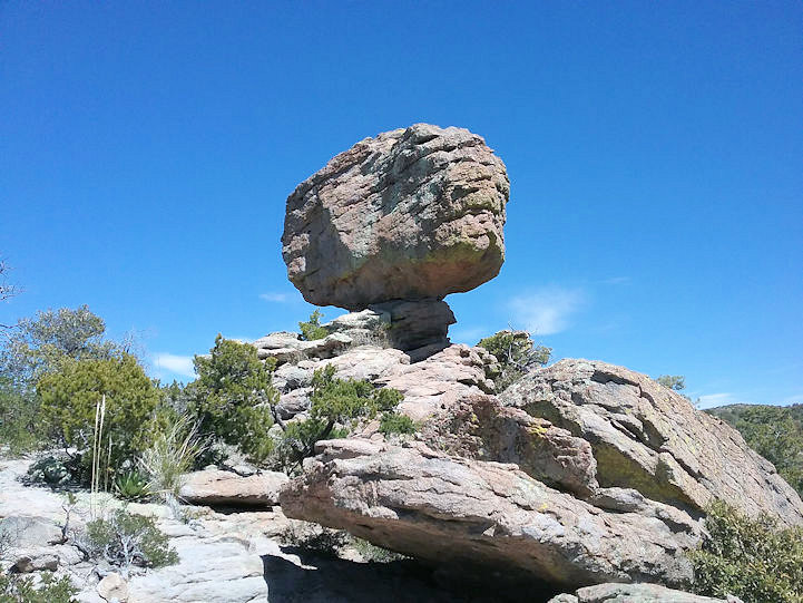
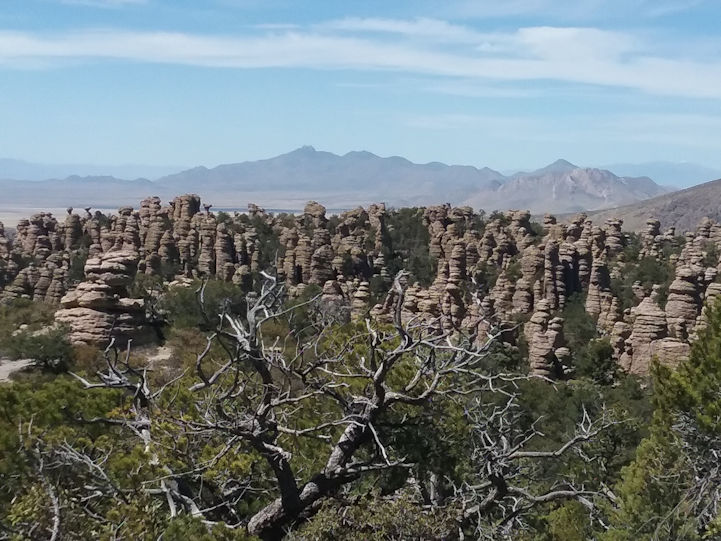
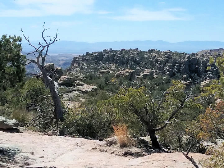
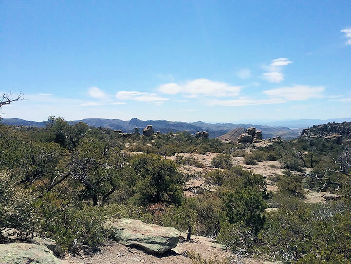
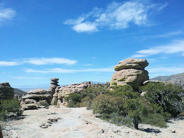
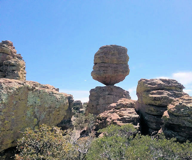
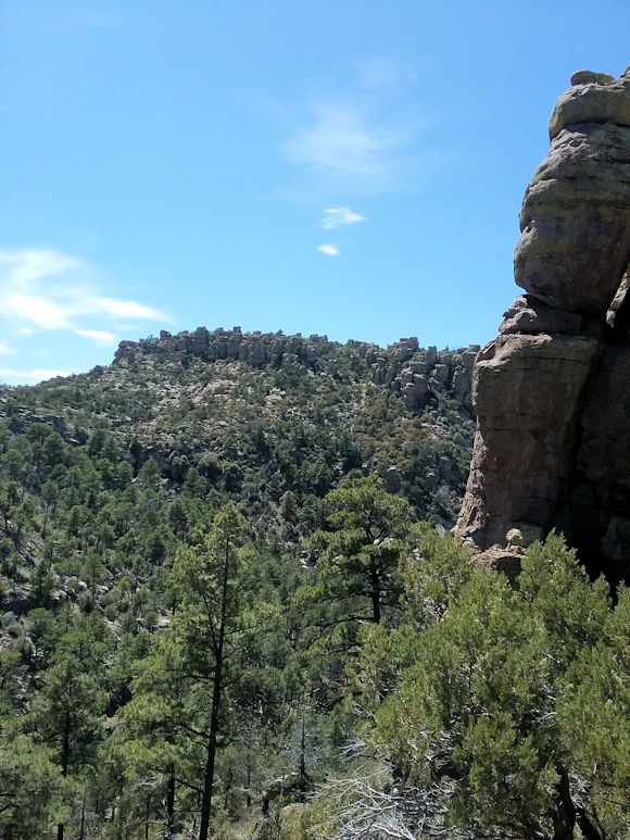
The following photos were taken as we hiked a variety of trails within the Chiricahua National Monument (about 30
miles southeast of Wilcox, AZ). The trails were at between 5,980 and 6,870 feet altitude. |
|
| |
|
| |
 |
| |
|
| |
 |
| |
|
| |
 |
| |
|
| |
 |
| |
|
| |
 |
| |
|
| |
 |
| |
Greg |
| |
|
| |
 |
| |
|
| |
 |
| |
|
| |
 |
| |
|
| |
 |
| |
|
| |
 |
| |
|
| |
 |
| |
|
| |
 |
| |
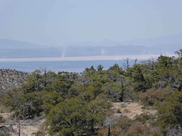
See all the dust devils in the distance (several thousand feet below us). |
| |
|
| |
 |
| |
|
| |
 |
| |
|
| |
 |
| |
|
| |
 |
| |
|
| |
 |
| |
|
| |
 |
| |
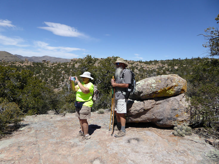
Rita and Greg. . . |
| |
|
| |
 |
| |
|
| |
 |
| |
|
| |
 |
| |
|
| |
 |
| |
|
| |
 |
| |
|
| |
 |
| |
|
| |
 |
| |
|
| |
 |
| |
|
| |
  |
| |
|
| |
  |
| |
|
| |
  |
| |
|
| |
  |
| |
|
| |
  |
| |
|
| |
  |
| |
|
| |
  |
| |
|
| |
  |
| |
|
| |
  |
| |
|
| |
  |
| |
|
| |
  |
| |
|
| |
  |
| |
|
| |
  |
| |
|
| |
  |
| |
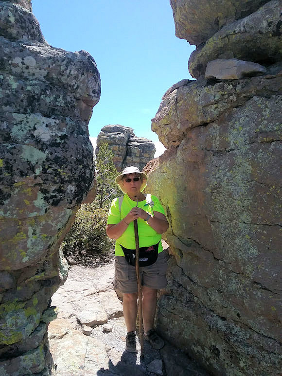
Actually, photo by Greg. . . |
| |
|
| |
  |
| |
|
| |
  |
| |
|
| |
Picketpost Loop |
| |
|
| |
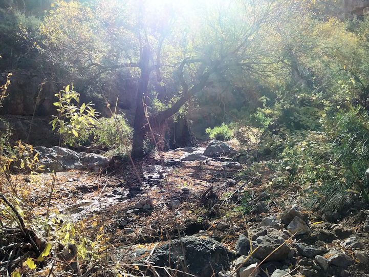
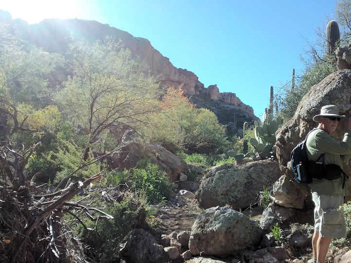
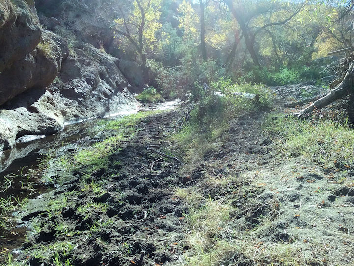
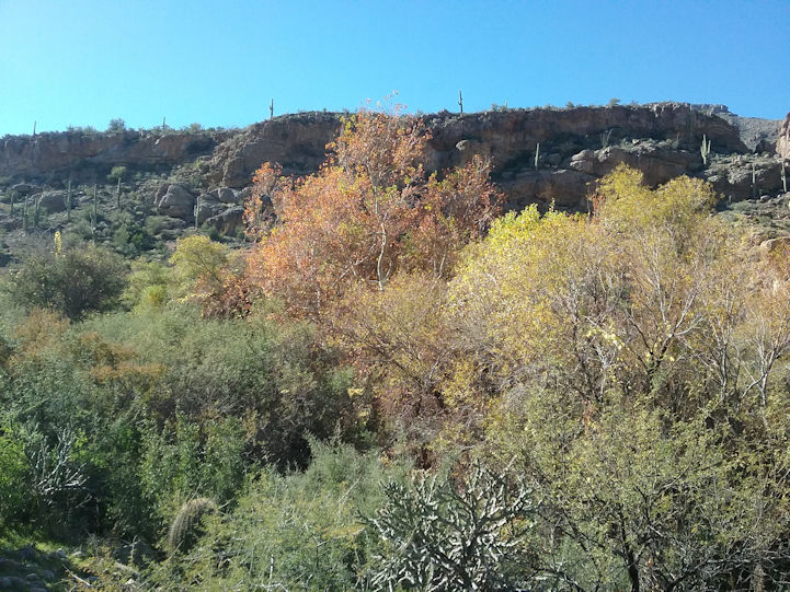
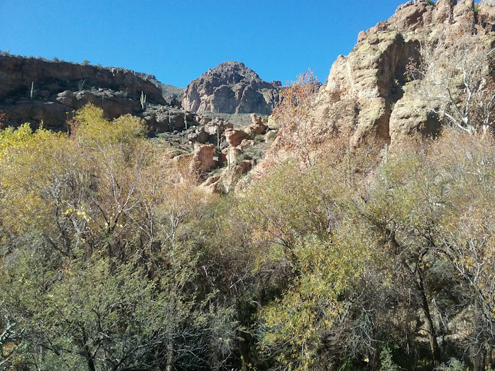
This trail starts out on the Arizona Trail (AZT) at the Picketpost trailhead, goes south for 4 miles to a left fork which eventually connects to Forest Road 4, which then takes you to Telegraph Canyon off to the left, which connects to Arnett Canyon. Then you go left back to the Picketpost trailhead. The entire loop is 9+ miles and basically loops all the way around Picketpost mountain. |
|
| |
|
| |
  |
| |
|
| |
  |
| |
|
| |
  |
| |
|
| |
  |
| |
|
| |
  |
| |
|
| |
  |
| |
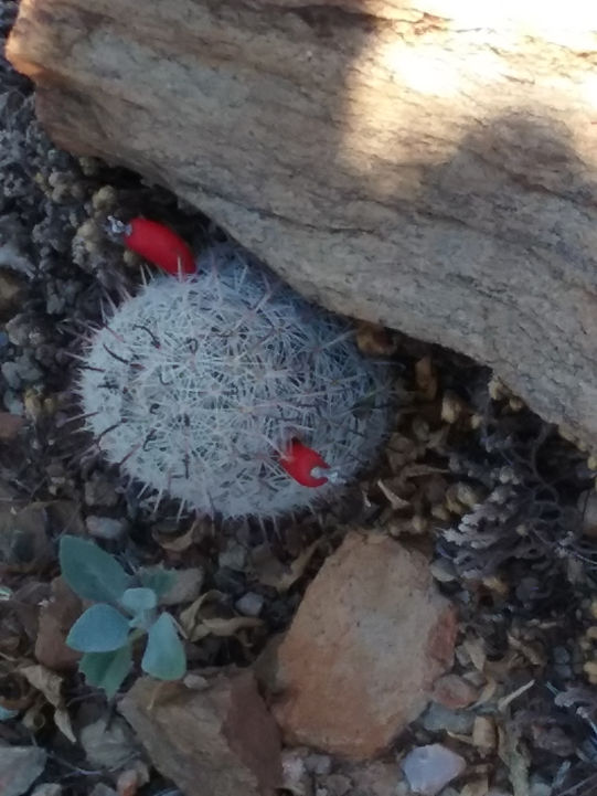
A Corkyseed Fishhook Pincushion cactus. |
| |
|
| |
  |
| |
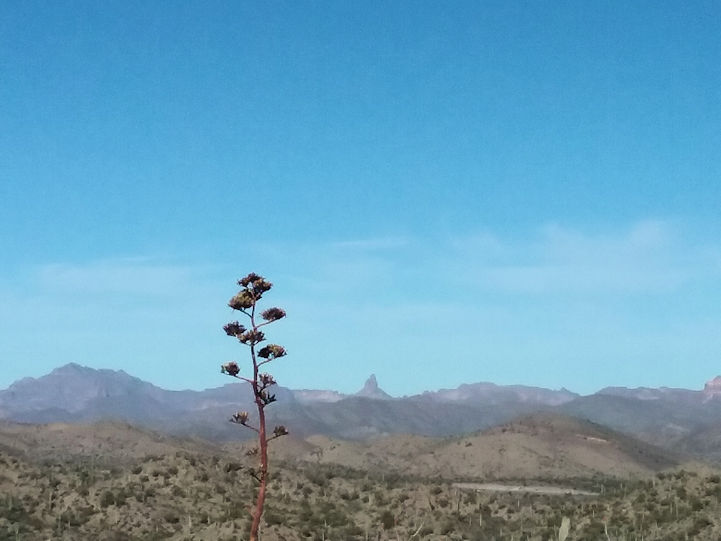
Weavers Needle in the background. . . |
| |
|
| |
  |
| |
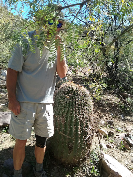
That's Greg giving scale to a pretty large barrel cactus. . . |
| |
|
| |
  |
| |
|
| |
  |
| |
|
| |
|
| |
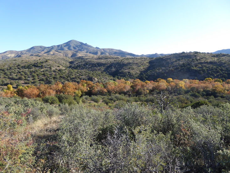
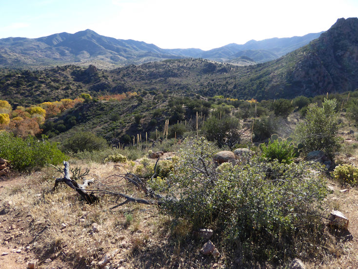
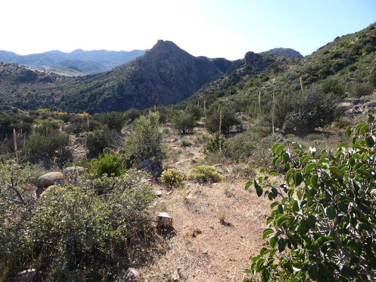
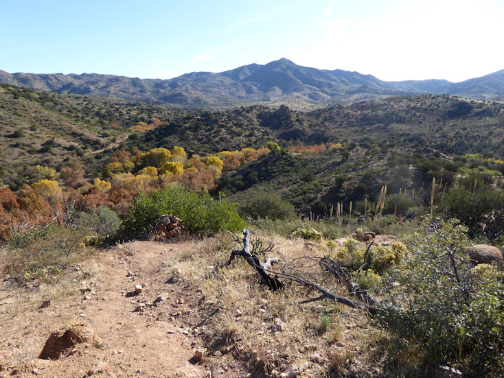
Arizona Trail - Sunflower (Boulder Creek Trail #73) |
| |
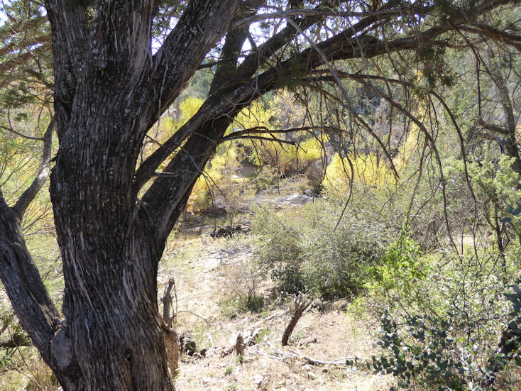
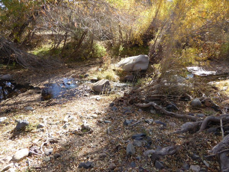
This piece of the Arizona Trail goes east from Sunflower and overlooks Sycamore Creek. |
| |
|
| |
 |
| |
|
| |
 |
| |
|
| |
 |
| |
|
| |
 |
| |
|
| |
 |
| |
|
| |
 |
| |
|
| |
  |
| |
|
| |
  |
| |
|
| |
  |
| |
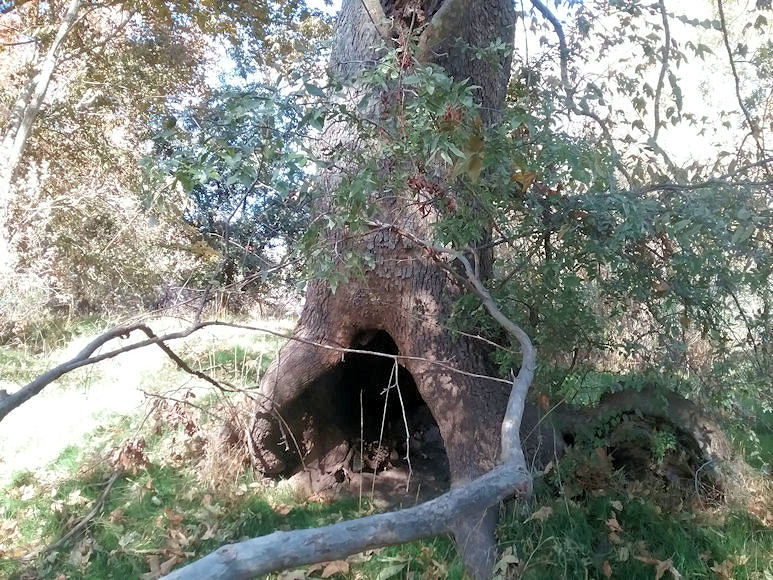
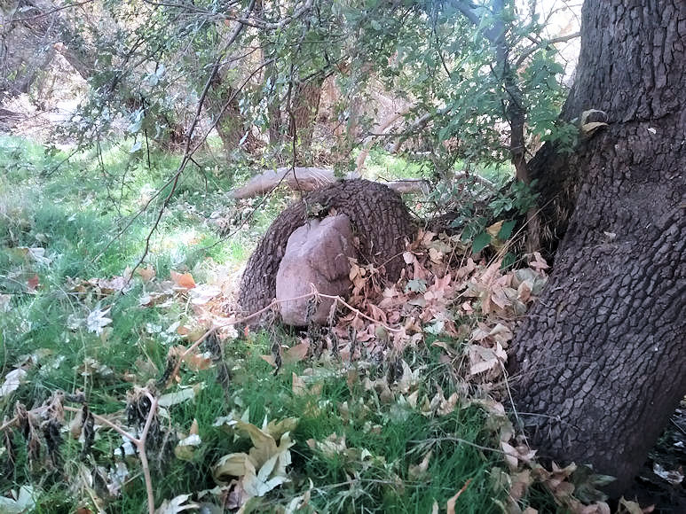
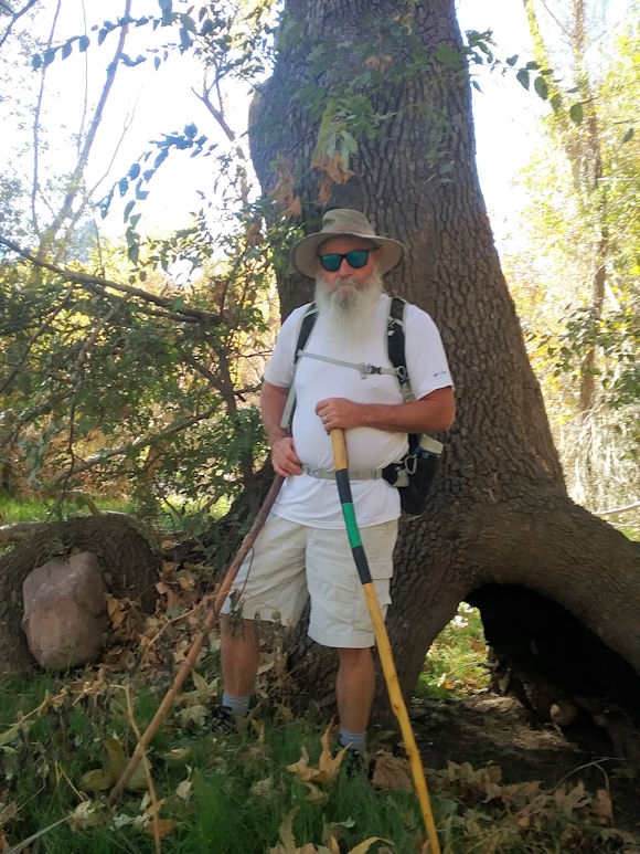
Greg by the hollow-bottomed tree that also has a large boulder held captive. . . |
| |
|
| |
  |
| |
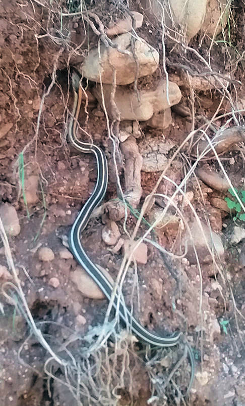
A Blacked-Necked Garter Snake |
| |
|
| |
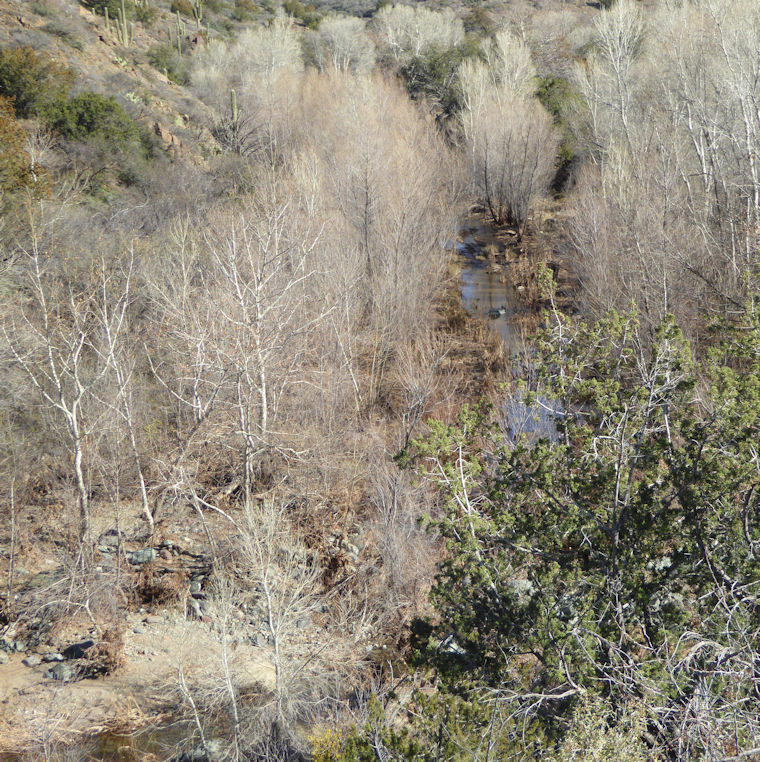
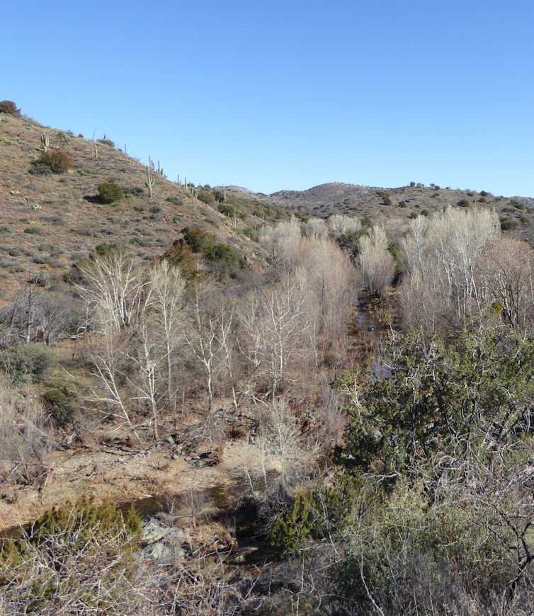
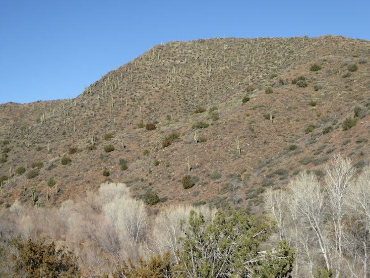
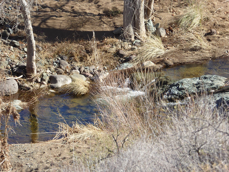
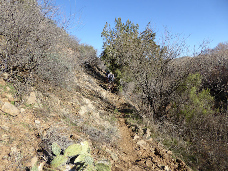
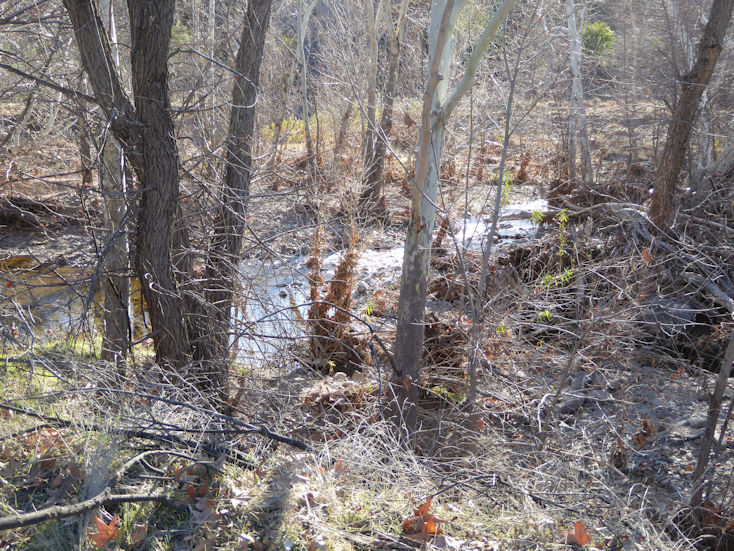
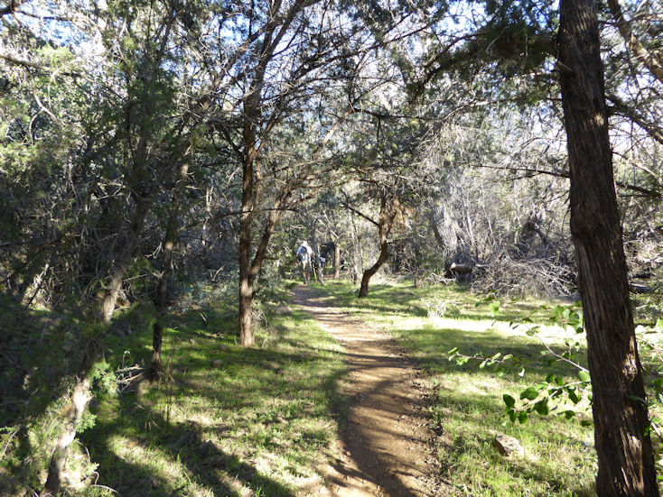
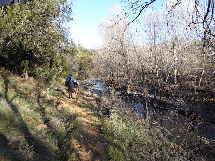
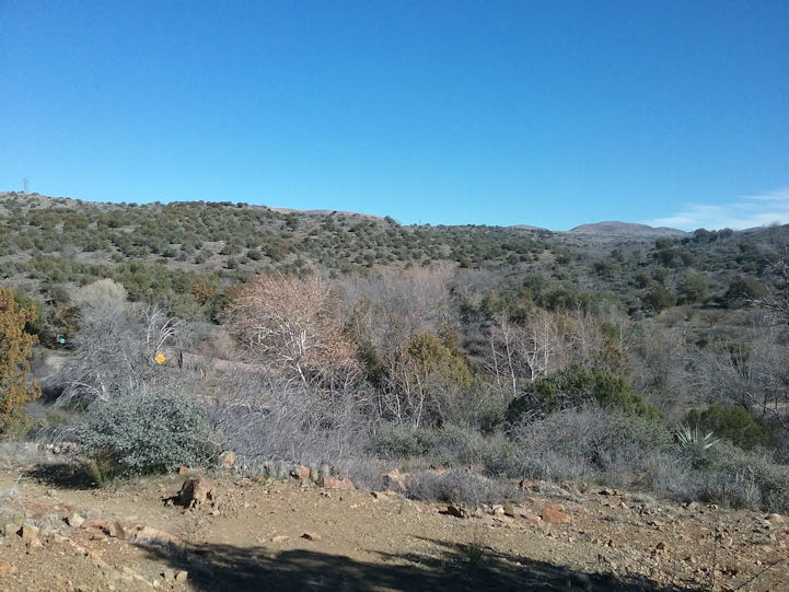
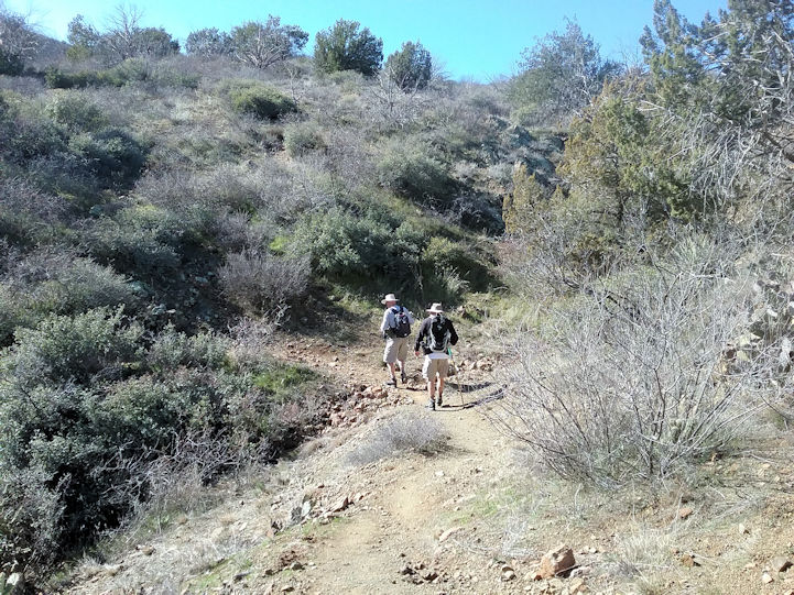
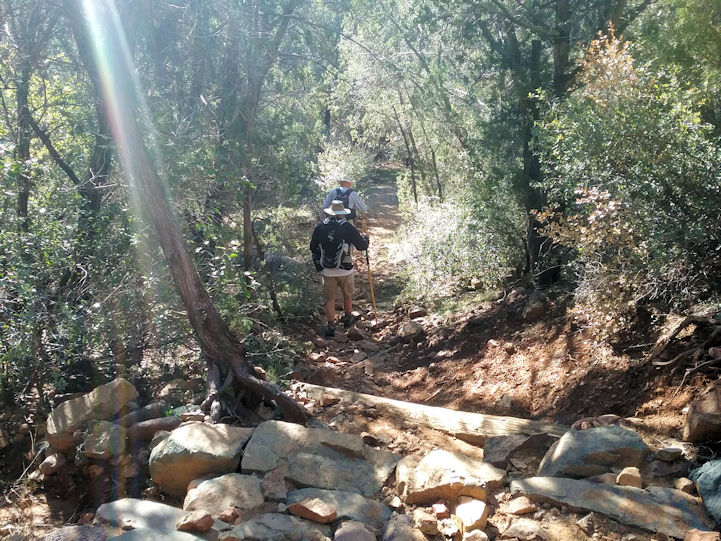
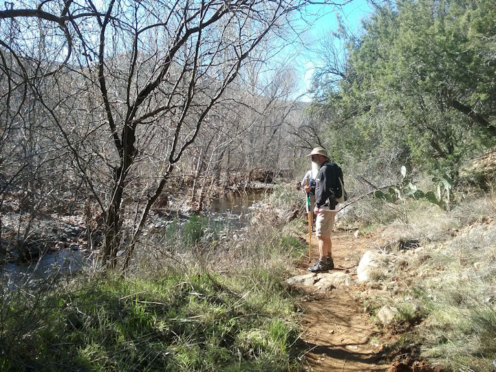
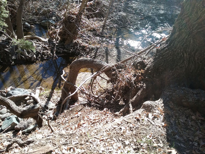
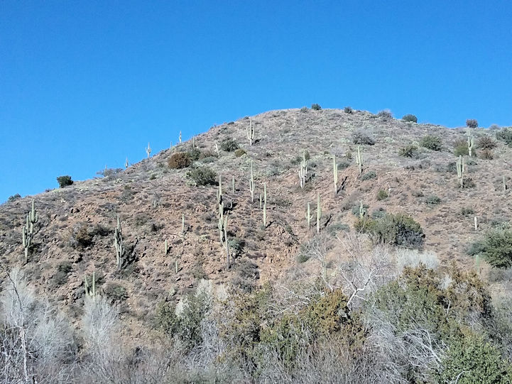
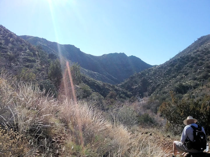
Cave Creek Trail #4 |
| |
|
| |
 |
| |
|
| |
 |
| |
|
| |
 |
| |
|
| |
 |
| |
|
| |
 |
| |
|
| |
 |
| |
|
| |
 |
| |
|
| |
 |
| |
|
| |
  |
| |
|
| |
  |
| |
|
| |
  |
| |
|
| |
  |
| |
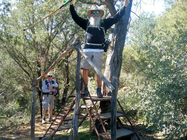
Steps over a fence in lieu of a gate. . . |
| |
|
| |
  |
| |
|
| |
  |
| |
|
| |
  |
| |
|
| |
  |
| |
|
| |
  |
| |
|
| |
  |
| |
|
| |
Pass Mountain |
| |
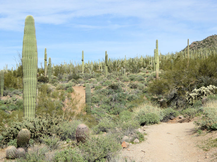
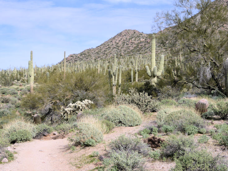
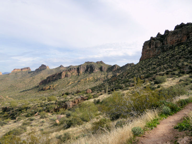
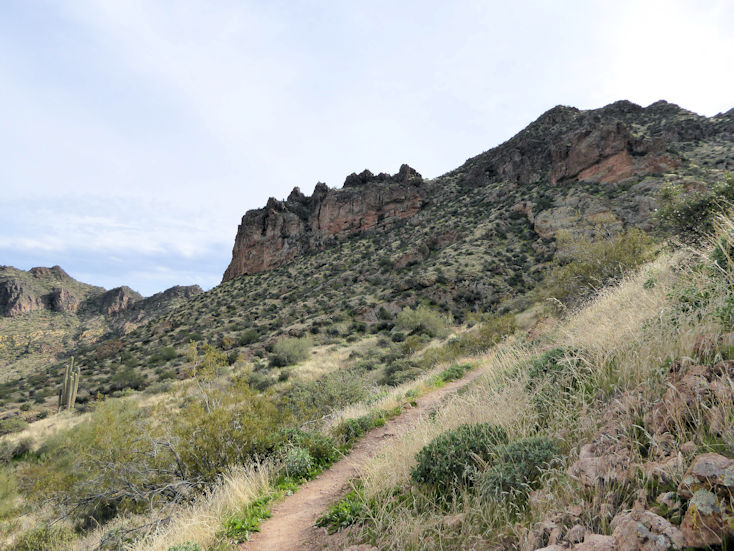
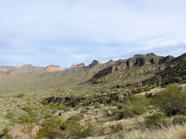
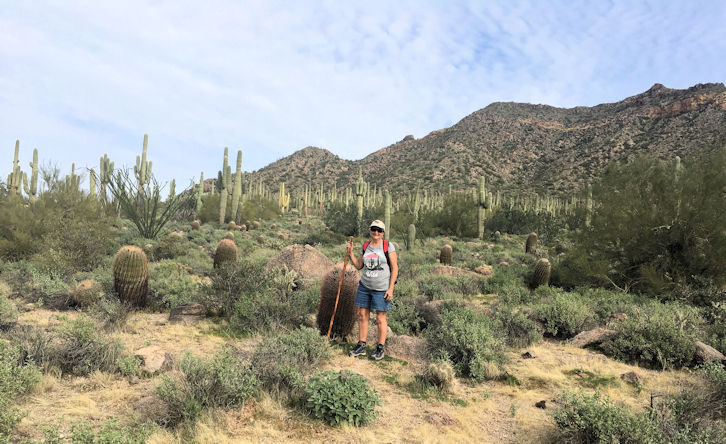
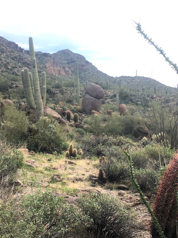
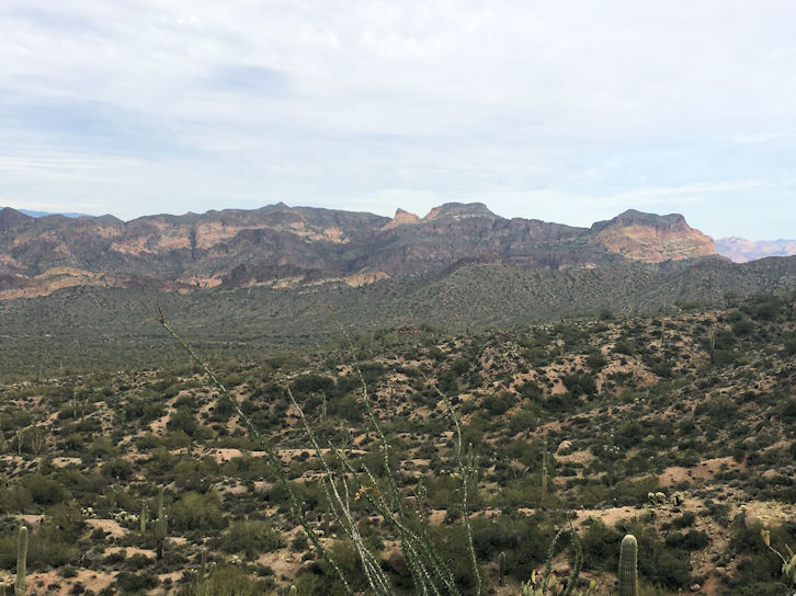
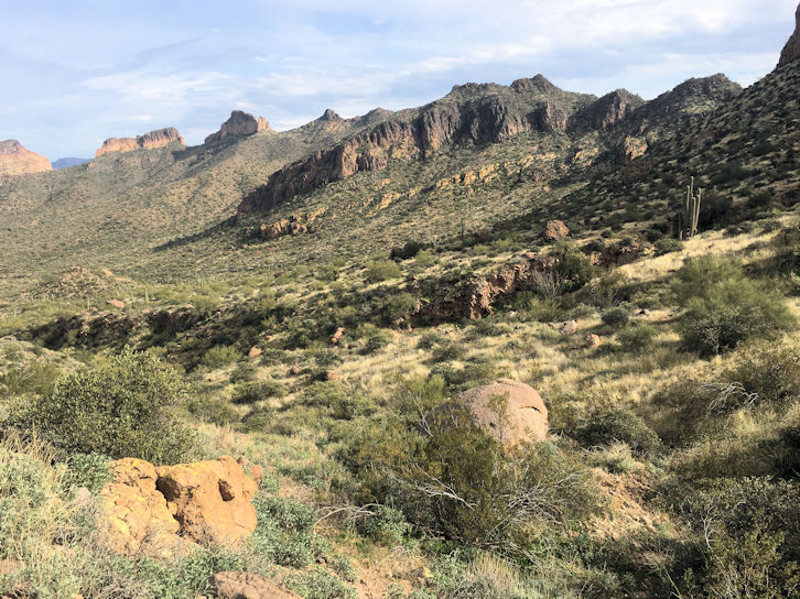
We did this loop trail clockwise from the parking lot at the north end of Meridian Drive. Some of us found it to be frustratingly rocky and longer than we expected. Various books rate it at around 7.5 miles. Our two hiking apps measured it at 8 and 9 miles. FYI, I don't plan to ever do this one again. . . |
|
| |
|
| |
 |
| |
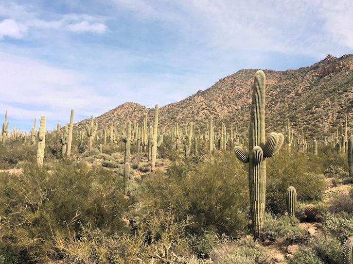
More Saguaros than I've ever seen in one place. . . |
| |
|
| |
 |
| |
|
| |
 |
| |
|
| |
 |
| |
|
| |
 |
| |
|
| |
  |
| |
|
| |
  |
| |
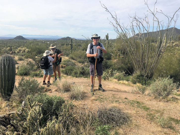
Rita, Greg, and Pete |
| |
|
| |
  |
| |
|
| |
  |
| |
Janet |
| |
|
| |
  |
| |
|
| |
  |
| |
|
| |
  |
| |
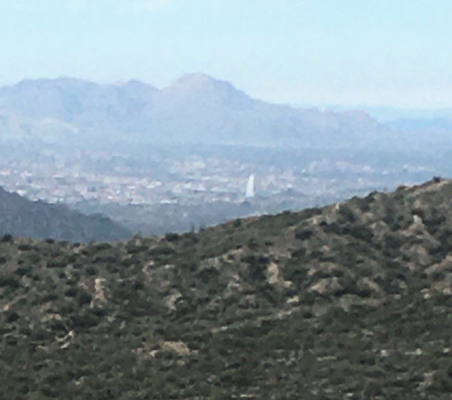
That's the fountain in Fountain Hills in the distance. |
| |
|
| |
  |
| |
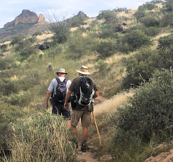
Pete and Greg |
| |
|
| |
  |
| |
|
| |
  |
| |
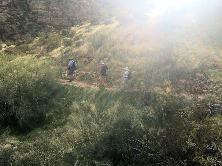
Pete, Greg, and Rita |
| |
|
| |
See a Video By Janet:  |
| |
|
| |
|


